Aerial mapping and imagery are used in a wide variety of contexts, from land mapping to facility locates.
Quest accesses current satellite imagery to provide a clear picture of what is on the ground in every setting. Equipping our field crews with UAVs enables them to collect real-time images of areas of interest to identify any features which could affect the project.
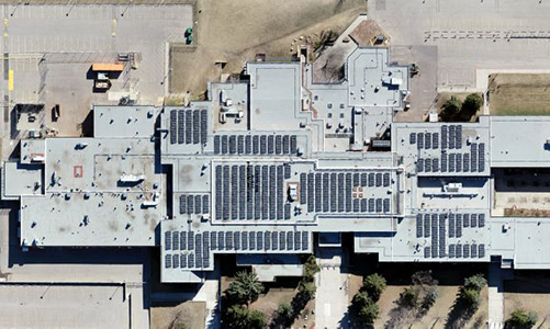
Aerial_Mapping-UAV_School-5×3
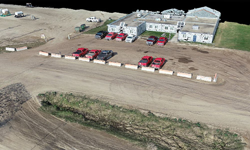
UAV aerial mapping of a school
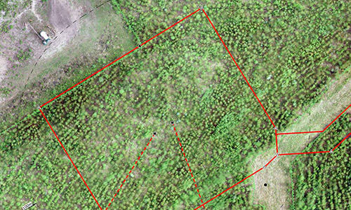
Aerial_Mapping-with_survey_data-5×3
Aerial mapping with survey data
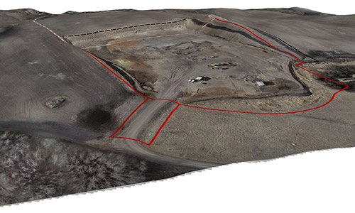
Aerial_3d_View-5×3
Aerial 3D view
QG_UAV-1500
UAV perspective
3D_Building-QuestGeomatics
3D building
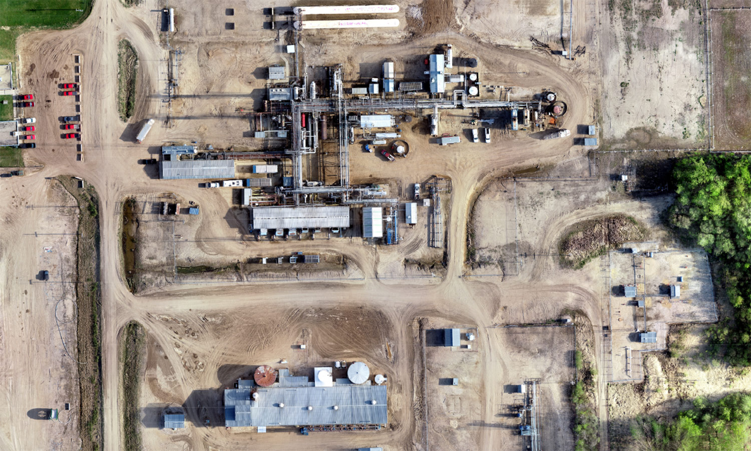
Aeria_UAV_Pad_Site-5×3
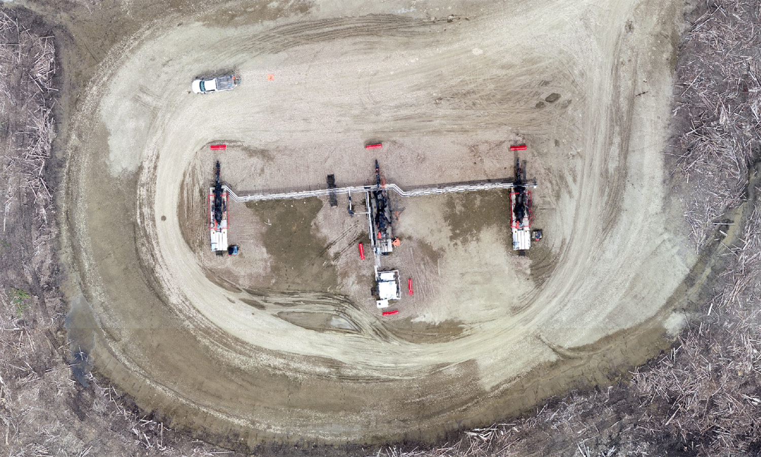
Aerial UAV pad site