Mapping and survey technologies help distribute energy to where it is needed.
From initial feasibility studies through to site selection, crossing, permitting and easement plans, our surveying and mapping technologies aid in managing these assets throughout their lifespan.
We support transmission and distribution with:
- Route surveys
- Centerline surveys
- Alignment and profile drawings
- Crossing drawings
- Geographic Information Systems (GIS) and data management services
- EZE easement plans
- Terrain modelling and 3D Planning
Applicable technologies
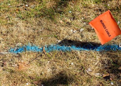
Quest has the expertise needed to determine appropriate facility location, a factor which can be critical to project success.
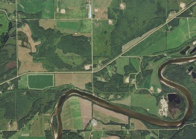
Orthomosiac and georeferenced imagery provide a comprehensive view of land features, topography and property boundaries.
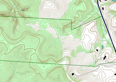
Information from GIS data sets and field data collection is incorporated into various software packages to produce high quality plans and products for our clients.
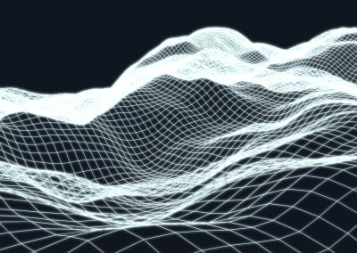
Quest's approach to 3D planning combines terrain mapping (elevation data) with aerial imagery and other pertinent datasets.
No results found.

