Integrated Technologies
The range of technologies offered by Quest Geomatics can be used in multiple applications.
image: USGS | Unsplash
The quality of Quest’s services depends on two factors – the expertise of our staff and the quality of the equipment we use. We invest in the latest survey and data collection technologies to ensure that the services we deliver are accurate, comprehensive and reliable.
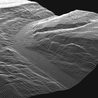
Point Cloud technology produces three-dimensional computer illustrations of objects or geography.
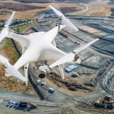
Aerial mapping and imagery are used in a wide variety of contexts, from land mapping to facility locates.
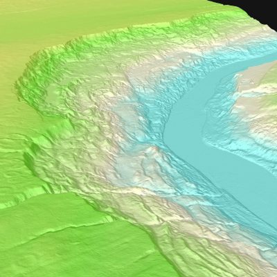
Digital Elevation Models and Digital Terrain Models use 3D computer modelling to provide the elevation data needed to calculate and analyze a given location.
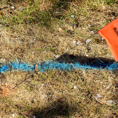
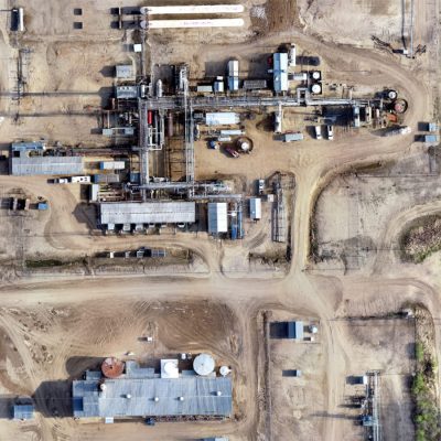
Quest has the expertise needed to determine appropriate facility location, a factor which can be critical to project success.
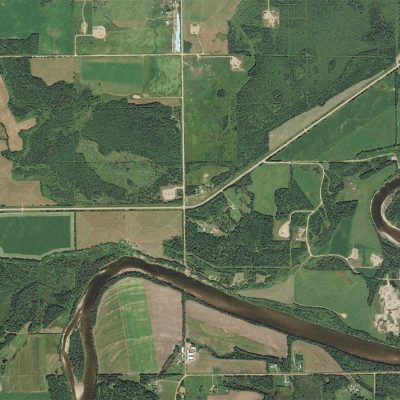
Orthomosiac and georeferenced imagery provide a comprehensive view of land features, topography and property boundaries.

Information from GIS data sets and field data collection is incorporated into various software packages to produce high quality plans and products for our clients.
High density imagery and video technologies maintain the clarity needed to provide accurate data and mapping.

Hydrographic mapping technology supports include profiling river & lake bottoms for pipeline design, cover erosion monitoring, tailing pond monitoring and bridge pier scour surveys.
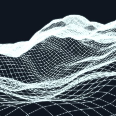
Quest's approach to 3D planning combines terrain mapping (elevation data) with aerial imagery and other pertinent datasets.
No results found.