precise surveying allows you to carry out construction projects with confidence.
From design through to the final phases of construction, clients rely on Quest’s mapping, surveying services and technology. Whether we are providing initial topographic surveys, pile layouts or final as-built surveys, call on our resources to get the job done.
We support the construction industry with:
- Topographic site surveys
- Earthwork and quantity surveys
- Pile and gridline surveys
- Control surveys
- Construction/as-built surveys.
Applicable technologies
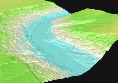
Digital Elevation Models and Digital Terrain Models use 3D computer modelling to provide the elevation data needed to calculate and analyze a given location.
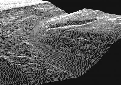
Point Cloud technology produces three-dimensional computer illustrations of objects or geography.

Hydrographic mapping technology supports include profiling river & lake bottoms for pipeline design, cover erosion monitoring, tailing pond monitoring and bridge pier scour surveys.
Quest has the expertise needed to determine appropriate facility location, a factor which can be critical to project success.
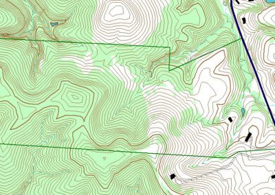
Information from GIS data sets and field data collection is incorporated into various software packages to produce high quality plans and products for our clients.
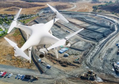
Aerial mapping and imagery are used in a wide variety of contexts, from land mapping to facility locates.
No results found.