Accurate surveying supports the success of oil and gas projects.
The Quest team has over 100 years of combined experience providing geomatics, surveying and mapping services in the Western Canadian Sedimentary Basin. We draw on our experience and technology resources to provide our clients with quality service.
We support the oil and gas industry with:
- Well site surveys
- Pipeline and transmission right-of-ways
- Crown disposition renewals
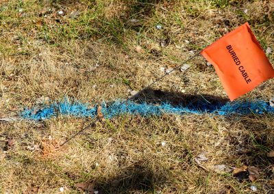
- Subsurface facility locates
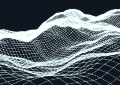
- Terrain modelling and fly-through generation
- GIS data acquisition and management
- Facility pre-engineering and construction services.
Applicable technologies

Hydrographic mapping technology supports include profiling river & lake bottoms for pipeline design, cover erosion monitoring, tailing pond monitoring and bridge pier scour surveys.
Quest has the expertise needed to determine appropriate facility location, a factor which can be critical to project success.
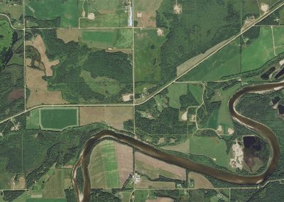
Orthomosiac and georeferenced imagery provide a comprehensive view of land features, topography and property boundaries.
Information from GIS data sets and field data collection is incorporated into various software packages to produce high quality plans and products for our clients.
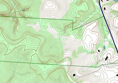
Quest's approach to 3D planning combines terrain mapping (elevation data) with aerial imagery and other pertinent datasets.
No results found.