From pre-planning to field surveying to final plan, Quest manages your project data from start to finish.
Information from GIS data sets and field data collection is incorporated into various software packages to produce high quality plans and products for our clients. All data is stored in GIS formats for easy recall and use in projects going forward. Maintaining the ability to recall data helps our technicians to complete new projects with efficiency and accuracy, ensuring that work remains on time and on budget.
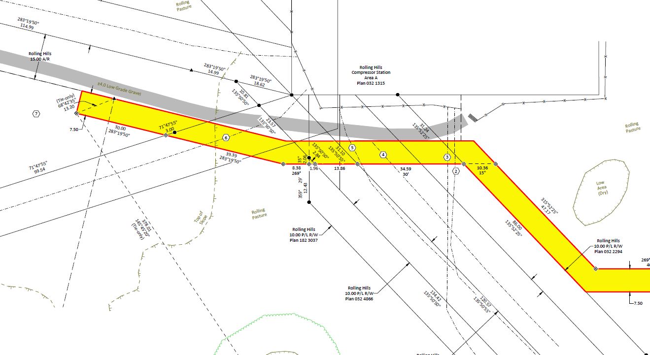
GIS_DATA-Field_data
GIS field data
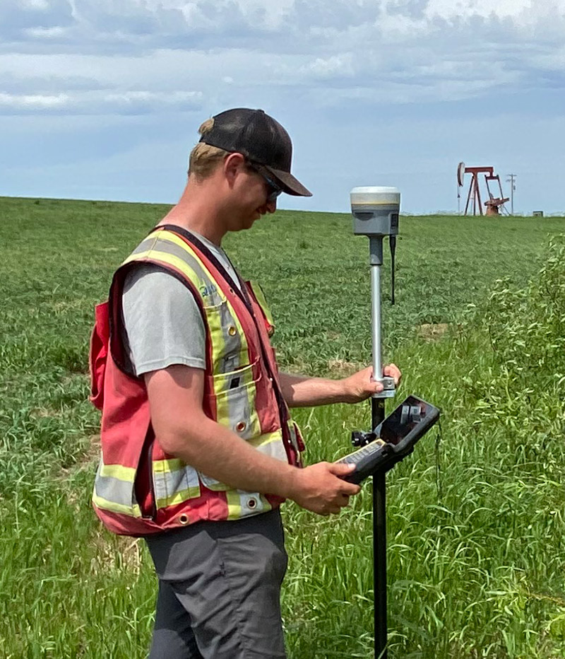
R12 in the field-800
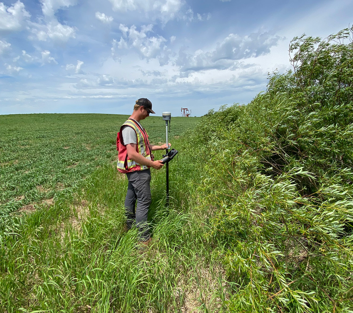
R12 in the field-1500
R12 in the field