Hydrographic mapping technology is designed to support projects in aquatic environments, including waterways. Our services include profiling river & lake bottoms for pipeline design, cover erosion monitoring, tailing pond monitoring and bridge pier scour surveys. We use the right equipment in the right situation to deliver quality services to our clients.

hydrographic-surveys-20161114_114817
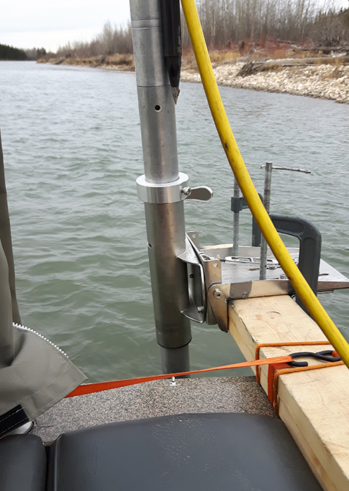
Hydrographic survey boat with sensor
hydrographic-survey_141150-500
Hydrographic scanning sensor
hydrographic-survey_112730-1500
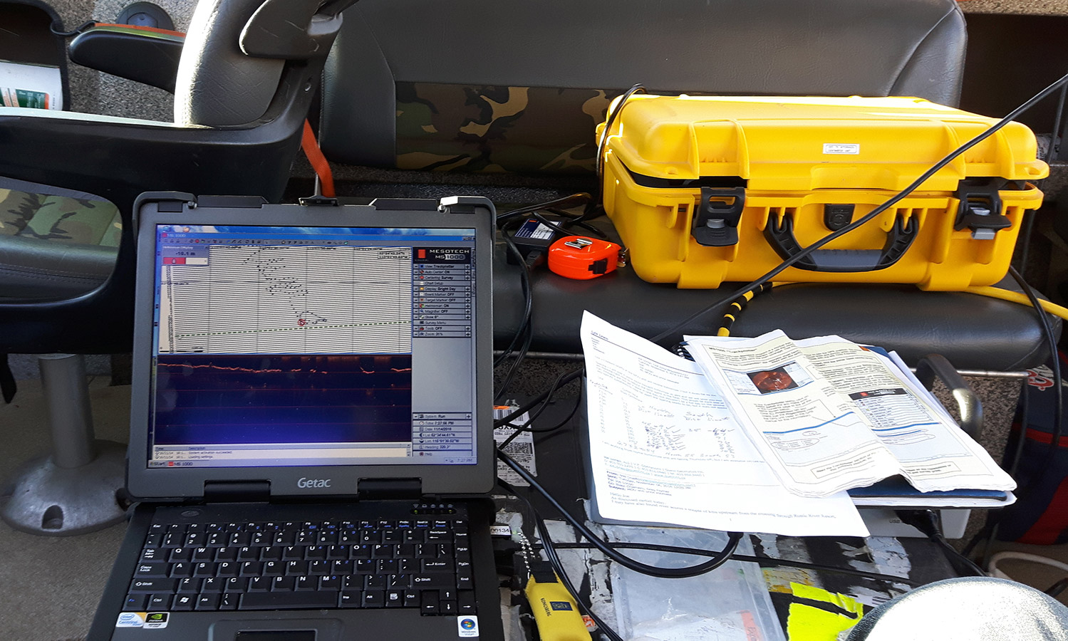
Data collection equipment