Quest’s approach to 3D planning combines terrain mapping (elevation data) with aerial imagery and other pertinent datasets. Effective and efficient project planning begins in meetings with engineers, geologists, land and field personnel. With access to this technology, our clients can place proposed projects where they will have the least impact for landowners, reduce the environmental footprint and keep costs in line.
Quest involves as many stakeholders as possible in the initial stages of the planning process to ensure that every scenario is considered. These planning sessions can be held virtually to save time and align with company protocols.
For more information on our 3D planning process or to see a demo please contact us.

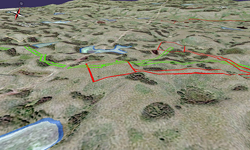
Terrain_Mapping-FIeld_data5x3
Terrain mapping field data
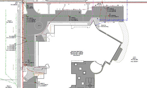
municipal plan terrain mapping | Quest Geomatics
Municipal plan terrain mapping
3D planning spot image
3D planning spot image