HD Imagery and Video
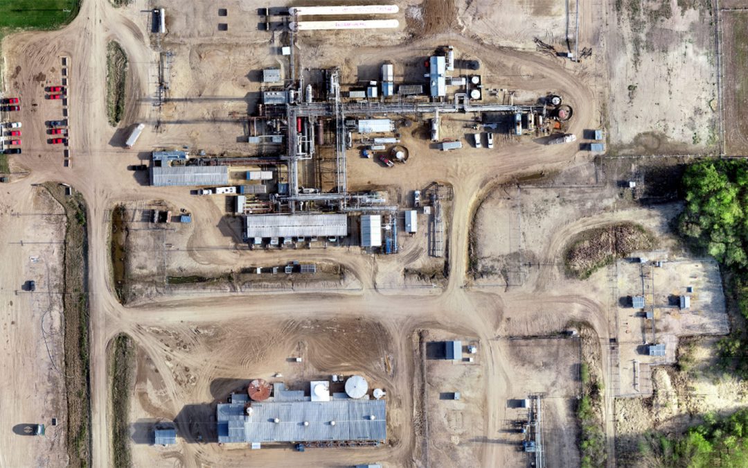
High density imagery and video technologies maintain the clarity needed to provide accurate data and mapping.

High density imagery and video technologies maintain the clarity needed to provide accurate data and mapping.

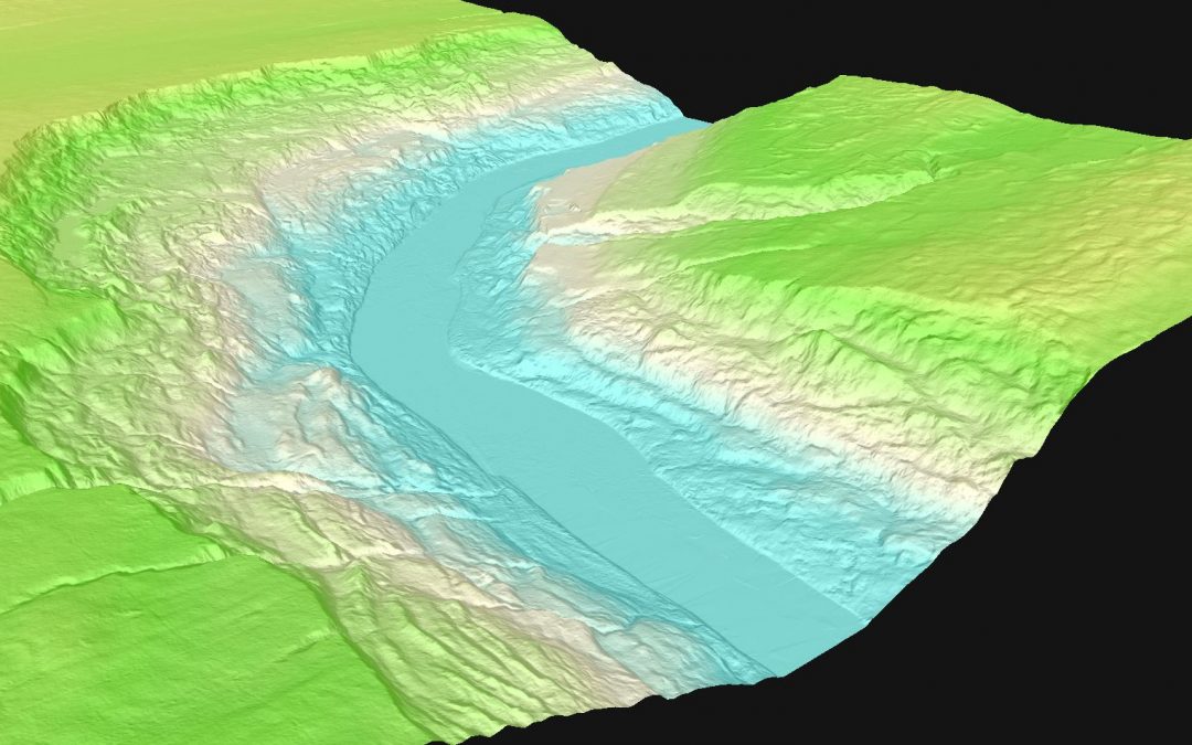
Digital Elevation Models and Digital Terrain Models use 3D computer modelling to provide the elevation data needed to calculate and analyze a given location.

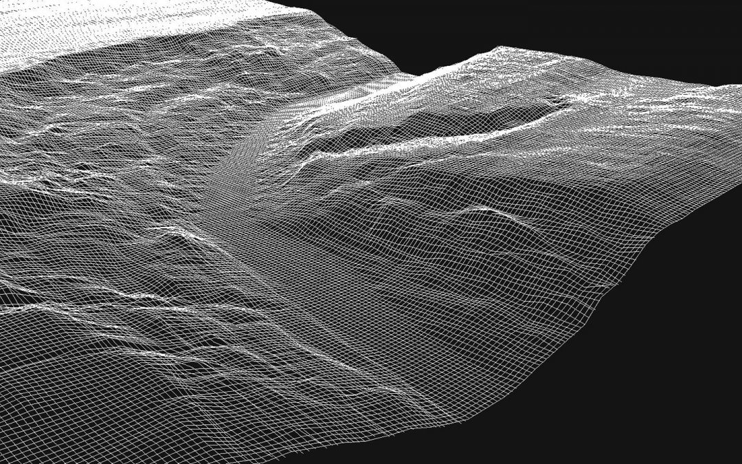
Point Cloud technology produces three-dimensional computer illustrations of objects or geography.
Recent Comments