industries
The Quest team has over 100 years of combined experience providing geomatics, surveying and mapping services in the Western Canadian Sedimentary Basin. We draw on our experience and technology resources to provide our clients with quality service.
technologies, UAV Drone, urban
High density imagery and video technologies maintain the clarity needed to provide accurate data and mapping.
construction, renewable energy, technologies, UAV Drone, urban
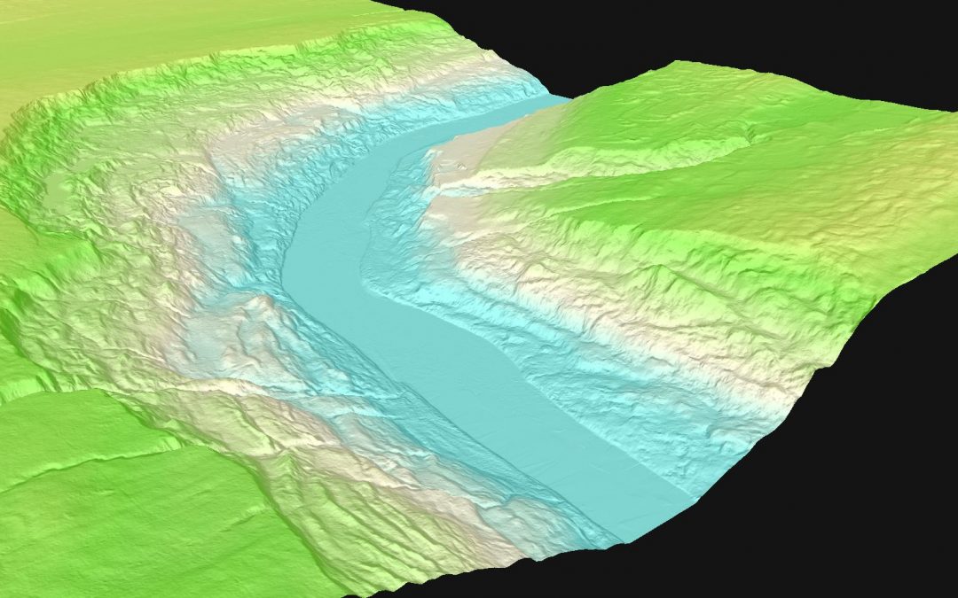
Digital Elevation Models and Digital Terrain Models use 3D computer modelling to provide the elevation data needed to calculate and analyze a given location.
construction, pipelines, technologies, UAV Drone
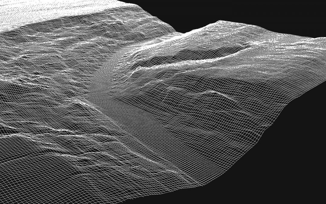
Point Cloud technology produces three-dimensional computer illustrations of objects or geography.
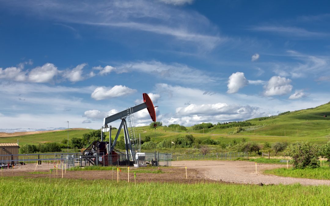
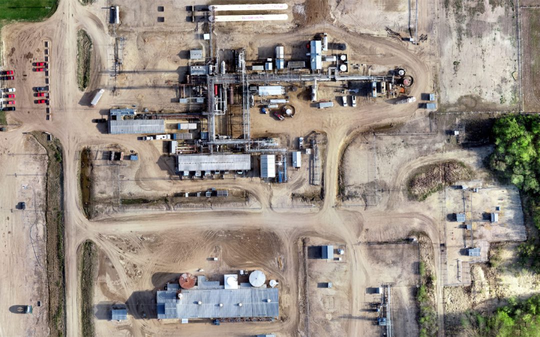
construction, oil & gas, pipelines, renewable energy, technologies, urban
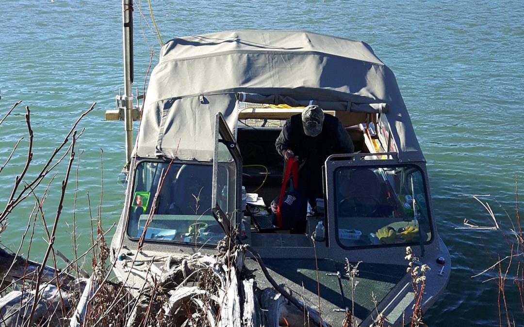
Hydrographic mapping technology supports include profiling river & lake bottoms for pipeline design, cover erosion monitoring, tailing pond monitoring and bridge pier scour surveys.
Recent Comments