• Home
  • Industries Served
    • Oil & Gas
    • Pipeline Integrity
    • Renewable Energy
    • Transmission & Distribution
    • Construction
    • Urban & Municipal
  • Integrated Technologies
  • Safety
  • Careers
  • About Us
    • About Us
    • Giving Back
    • Contact Us
Terrain Mapping & 3D Planning

Terrain Mapping & 3D Planning

oil & gas, renewable energy, technologies, transmission & distribution

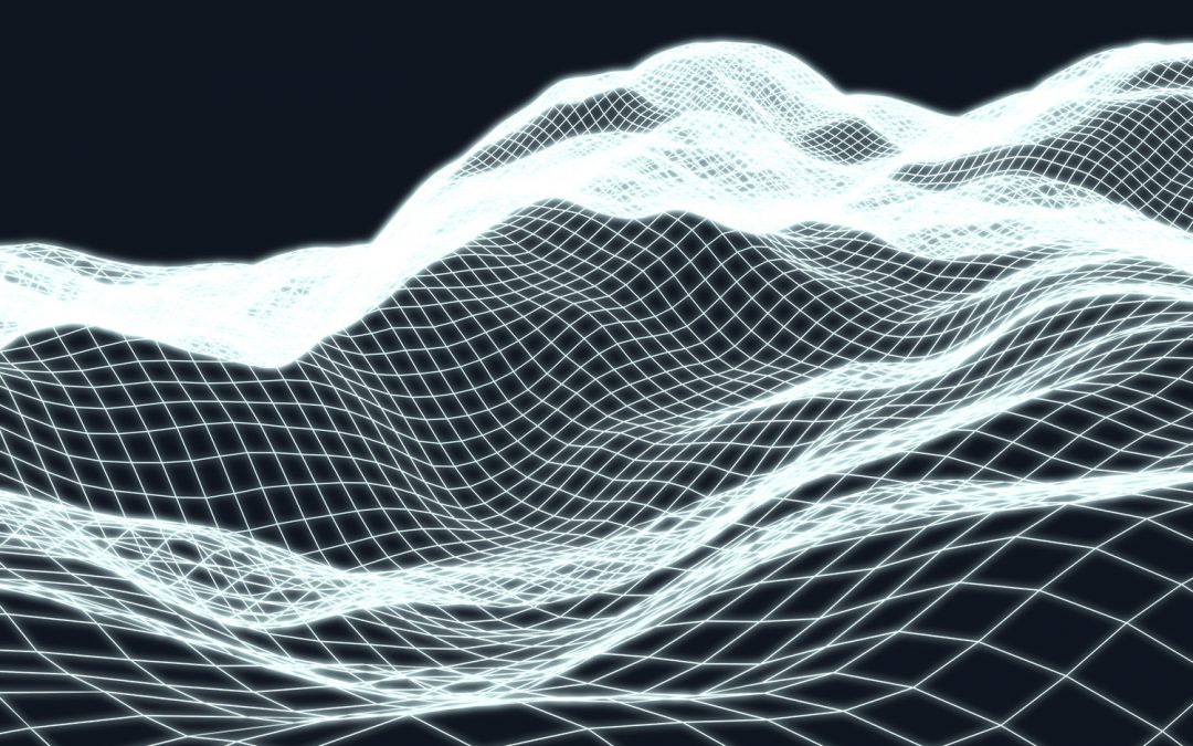
Quest’s approach to 3D planning combines terrain mapping (elevation data) with aerial imagery and other pertinent datasets.

Next Entries »

Recent Posts

  • Urban & Municipal
  • Construction
  • Transmission & Distribution
  • Renewable Energy
  • Pipeline Integrity

Recent Comments

    Archives

    • May 2021

    Categories

    • construction
    • industries
    • oil & gas
    • pipelines
    • renewable energy
    • technologies
    • transmission & distribution
    • UAV Drone
    • urban

    Meta

    • Log in
    • Entries feed
    • Comments feed
    • WordPress.org
    Quest Geomatics logo
    Contact Us

    Address

    Sunrise Square
    202. 602 11th Avenue SW
    Calgary, Alberta
    T2R 1J8

    PHONE

    Office: 403.984.9460
    Fax: 403.904.9459

    email

    mailroom@questinc.ca

    FOLLOW US

    • Follow
    • Follow
    • Follow

    Professional Associations

    Alberta Land Surveyor’s Associations (ALSA)

    Professional Surveyors of Canada

    Canadian Association of Petroleum Landman (CAPL)

    Canadian Institute of Geomatics (CIG)

    Association of Professional Engineers, Geologists and Geophysicists of Alberta (APEGGA)

    Alberta Society of Surveying and Mapping Technologies (ASSMT)

    International Right of Way Association (IRWA) Chapter 48

    Governmental Agencies

    Alberta Energy Regulator

    Alberta Land Titles (SPIN 2)

    Natural Resources Canada (NRCan)

    Alberta Queens Printer (Acts and Regulations)