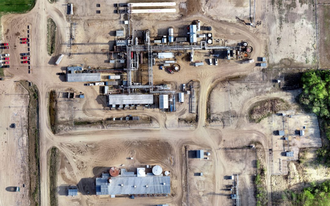
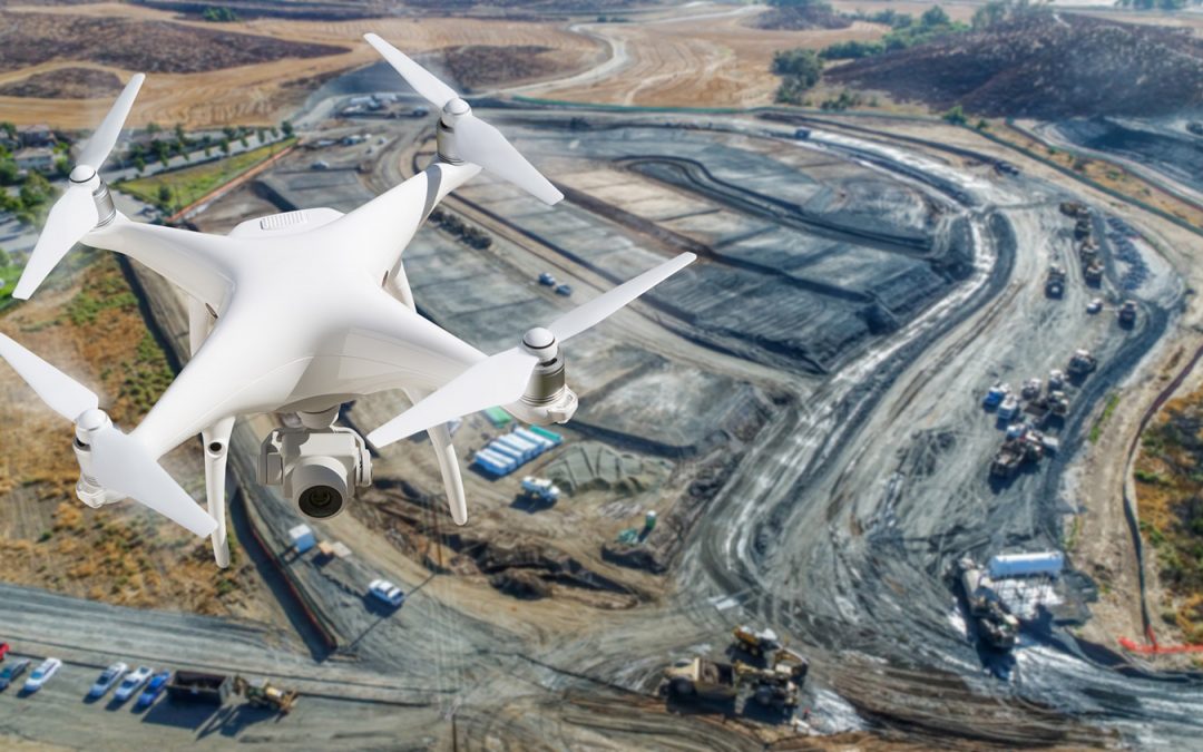
HD Imagery and Video
High density imagery and video technologies maintain the clarity needed to provide accurate data and mapping.
High density imagery and video technologies maintain the clarity needed to provide accurate data and mapping.
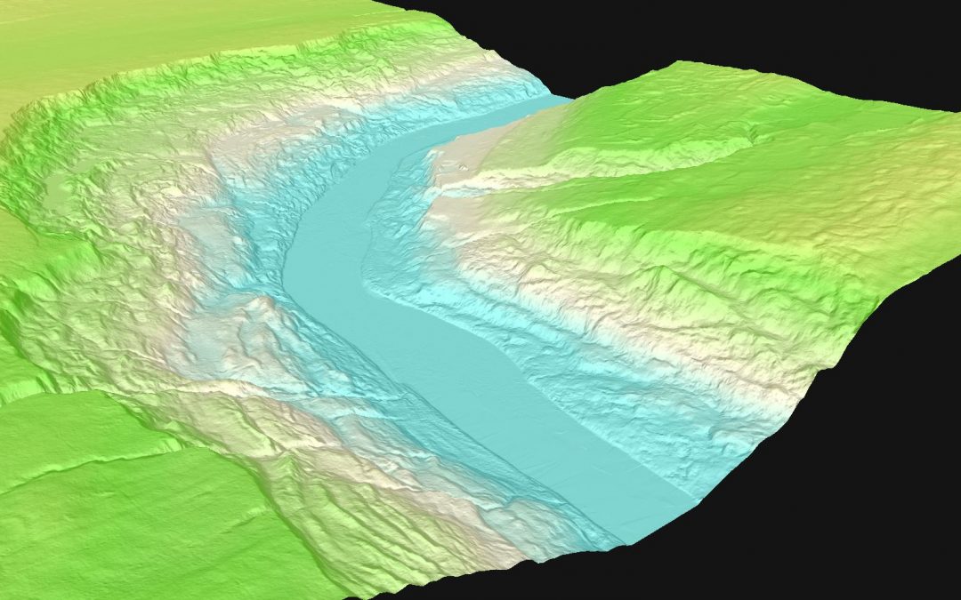
Digital Elevation Models and Digital Terrain Models use 3D computer modelling to provide the elevation data needed to calculate and analyze a given location.
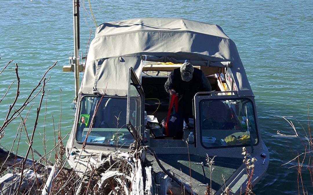
Hydrographic mapping technology supports include profiling river & lake bottoms for pipeline design, cover erosion monitoring, tailing pond monitoring and bridge pier scour surveys.
Quest has the expertise needed to determine appropriate facility location, a factor which can be critical to project success.
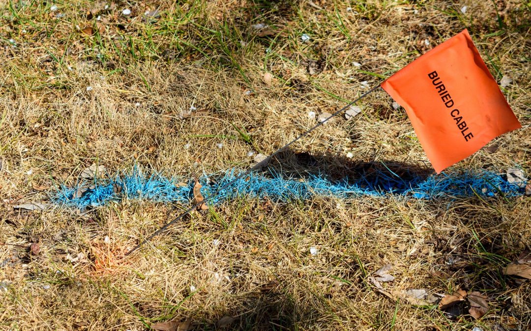
Information from GIS data sets and field data collection is incorporated into various software packages to produce high quality plans and products for our clients.
Aerial mapping and imagery are used in a wide variety of contexts, from land mapping to facility locates.
Recent Comments